


Well we splurged this year for July 4th , as soon as I knew it wasn’t going to rain, because we have seen our share this summer, nothing but rain and colder than usual summer. Anyway, the reason we took this kind of expensive dinner cruise, was to see the fire works in downtown Rochester,NY. The tickets were 100.00 dollars apiece. The cruise itself, was about 5 hours , we Are Not nite people , and we felt it the next few days. The Cruise started at 7pm and we didn’t return till 12:30 am. A very long trip.


we had to go through 2 locks before leaving the canal, and entering the Genesee River, to head Downtown.


some views of the locks at work, and a few of the bridges we had to go under


well the ride home was cold and uneventful, except for some crazy people who were out in their little motor boats, trying to pass the big boat, so they could all get in the locks b4 us.


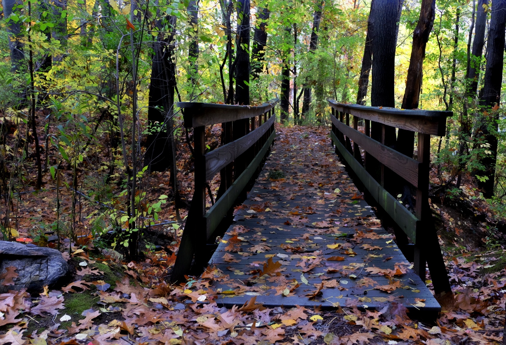
We have had an exceptional Autumn. i cant complain at all, of course that has all changed , this past week Father Winter has been tapping at our door. the wind and the rain,and the cold temps are here to stay…at least for the next well 6 months. So i took advantage,when i could and got out there. so here we go….


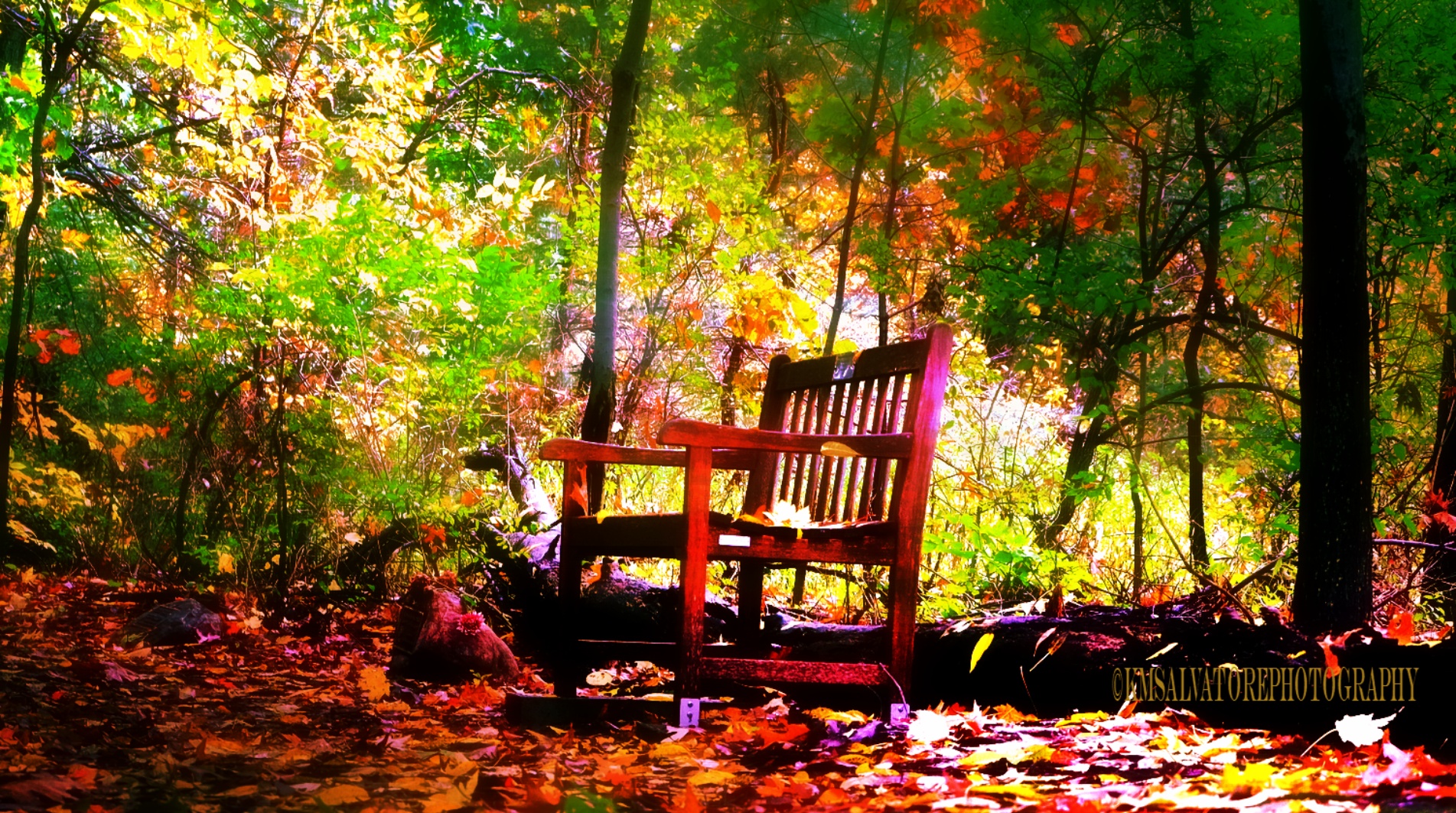


well my feet were getting cold…and wet. so i decided to call it a day

well its been great going through my vacation to Savannah Georgia, i’d go back in a heartbeat.
so when ever we go on vacation we always try to take trolley’s and boat rides, to learn about the history and other facts you just wont find in a book.and in the last part of our trip we took the boat ride at sunset. we normally dont see sunsets because of the hours my Husband works.. many sunrises though:)


ok, on with the show


The Savannah River has the fourth-highest toxic discharge in the country, according to a 2009 report by Environment America


The river supports a large variety of native and introduced aquatic species:


i had such an awesome time in Savannah, id go back again tomorrow if i could. i cant explain the feeling i get when im there.
if you stopped by thank you . this is the last segment of my vacation in Savannah Georgia 2016.

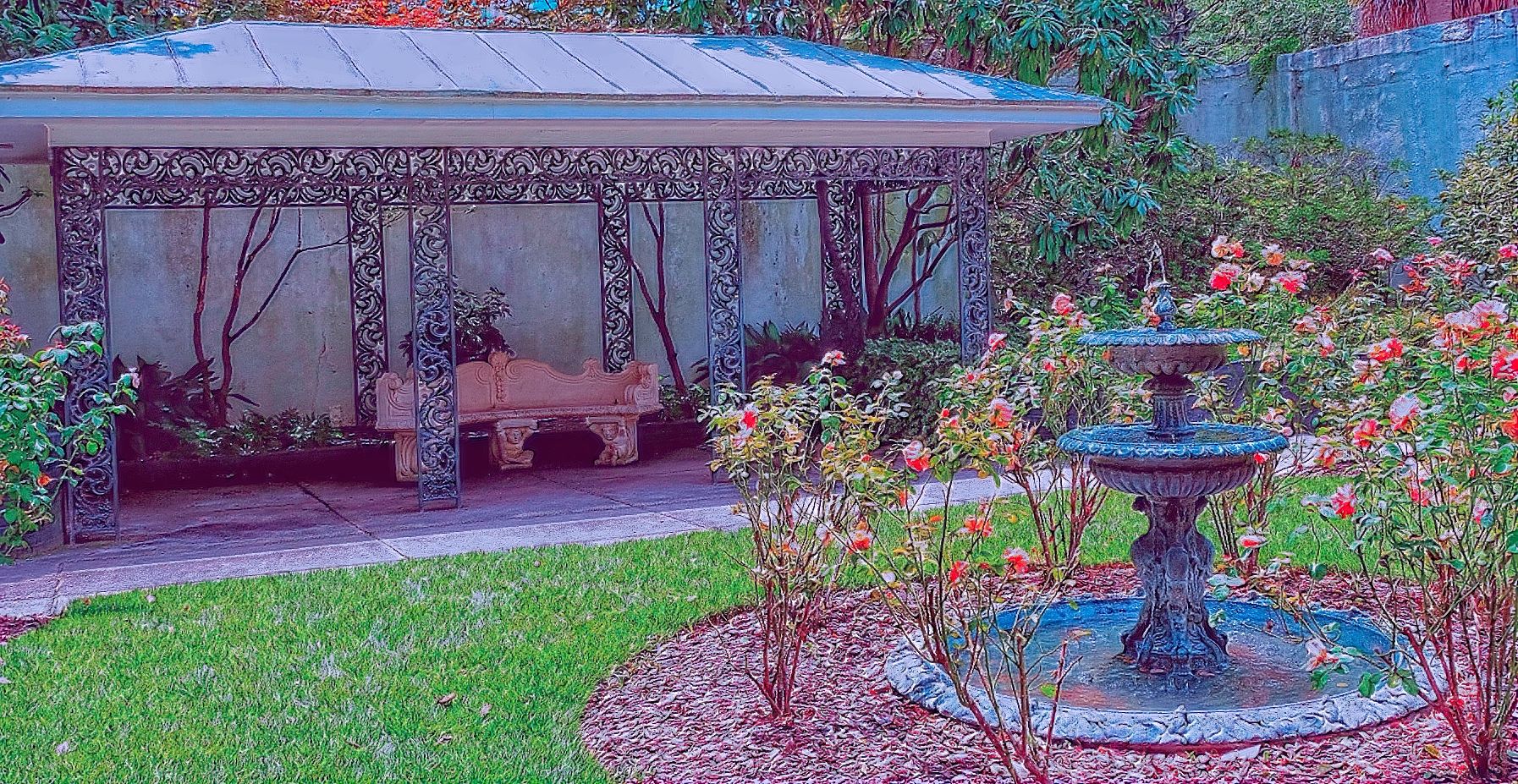
The Charm of the South has always won me over. i think in another life i must have lived there.
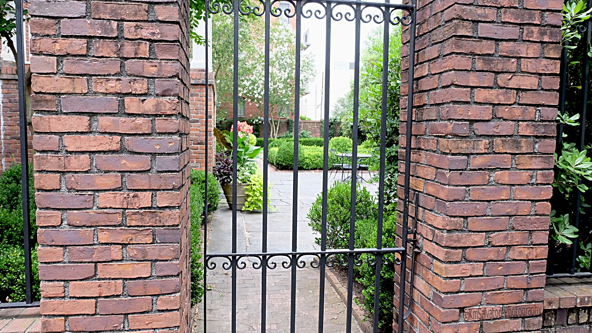
i thought id share some historic houses today, i wont go into the history, as i did in my other Savannah blogs. mostly because im too lazy. and it is the charm of these places that really captivates me and without SCAD….Savannah College of Architecture and Design..this would certainly not be possible!


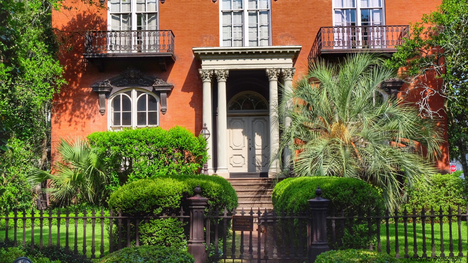


and if you look carefully at the brick (same in the other photos) see the smudge marks? well these bricks were hand made by slaves, and those are finger prints.


No i didnt go to a GP. but isnt it pretty?!


not really too keen on English food.. but the liqueur is the same 🙂 and yes it was time for refreshments.. after all my poor hubby was kind enough not to complain all day .
if you stopped by, i hope you enjoyed the tour. i love Savannah. that was my 4th visit, and even though i know i saw the same things, it never bores me. and theres always good fresh seafood:)
so.. have an awesome rest of the week, and thanks again for stopping by.

Well let me start by saying it took us 2 tries to figure out what exactly was on this island.. we aren’t quitters 🙂
if you love spending your Holiday in a cottage.. (im sure i could get away with saying million dollar mansions…. if ya get my drift)… and laying on a beach well this is the place for you!!! Myself (and Hubby too) are not that kind of people. neither of us can stay still that long.. or want to spend all of our money on one of those fancy rentals. so we came here for the day, because ive always heard so much about this place. Can anyone tell i wasn’t impressed?:) . Im afraid Florida beaches have me spoiled.. where the sand is beautiful and you can walk for miles. im not sure if it was low tide or not..but the beach was all stone and shell, and you know how they can hurt. the temp this particular day was 90 something, felt like 110.


He obliged..hes the one leaning again the wall with the green shirt on. He got so dizzy he couldn’t even enjoy the scenery .
so we left the lighthouse area and went further down the road.


these were found on the main highway.


i could have stayed there all day taking photos, but there were signs everywhere..KEEP OUT. i was very happy with these 2 shots, and if figured why press my luck:)

ive been told to try a number of restaurants in Tybee. but they were all so hard to find.. we just went back to Savanna and enjoyed a nice lunch and a few cocktails there. this place is only 20 min. from the “mainland” so it wasnt an all day drive… which was good because id still be hearing about it:).
here’s a little history about the lighthouse.
And if you stopped by, thank you, i hope you enjoyed my visit..at least as much as i did:)
The current lighthouse is the fourth tower at this station, though neither of its first two predecessors were lit.[2] The first tower was built at the direction of James Oglethorpe and was constructed of wood; erected in 1736, it was felled by a storm in 1741.[3] The following year a replacement was erected, this time of stone and wood, but still with no illumination; instead, it was topped with a flag pole.[4] This tower succumbed to shoreline erosion.[2]
The third tower was constructed in 1773 by John Mullryne,[5] a brick tower originally 100 ft (30 m) in height.[2][3] It was first fitted with a system of reflectors and candles, but this was upgraded to oil lamps after it was ceded to the federal government in 1790. A second tower was added to the site in 1822 to form a range.[3] Both towers received Fresnel lenses in 1857, with the lower front tower being equipped with a 4th order lens, while the main tower received a larger 2nd order lens.[2]
Confederate forces burned the light in 1862 during the Civil War and removed the lens as they retreated to Fort Pulaski. Reconstruction of the light was begun in 1866 but was delayed by a cholera outbreak.[2] A new tower was constructed atop the first 60 ft (18 m) of the old tower, raising the height of the whole to 154 ft (47 m). This tower was equipped with a 1st order lens. The front beacon was now a 50 ft (15 m) wooden skeleton tower equipped with a new 4th order lens.[2]
The main tower was severely damaged in a hurricane in 1871, and developed such serious cracking that a $50,000 appropriation was requested for its replacement.[2] Instead a new front tower (which had already been moved twice) was constructed of iron. New keepers dwellings were constructed in 1881 and 1885. The following year the tower was shaken by the 1886 Charleston earthquake, which damaged the lens and caused further cracking of the brickwork; these were both however immediately repaired. In 1933 the tower was electrified and the station reduced to a single keeper.[2] The beacon was automated in 1972.[3]
Throughout its life the daymark of the tower was modified on numerous occasions. Originally all-white, the base and lantern were painted black in 1887; this was altered in 1914 and again in 1916, each time bringing the black at the top further down the tower until the illustrated configuration was reached. In 1967 the entire tower was repainted with a white base and a gray top. The gray faded severely and was painted black in 1970.[6]
In 1999 a major restoration project was begun under the auspices of the Tybee Island Historical Society, who took possession of the light station in 2002 under the National Historic Lighthouse Preservation Act.[2][3] As part of this project the tower was repainted in the 1916-1966 black-white-black daymark.[2][6] The beacon is still a functioning navigational aid, still using its original lens. The site is open to the public and retains its keepers houses and auxiliary buildings as well as the lighthouse tower.[3]

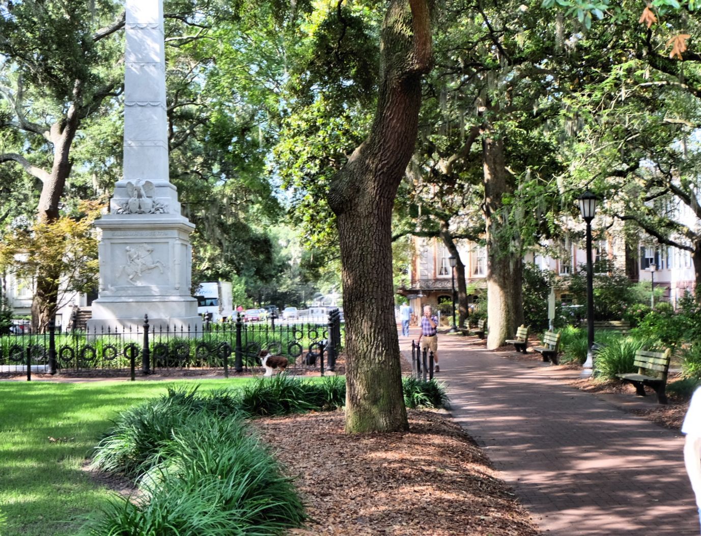
The city of Savannah was founded in 1733 by General James Oglethorpe. Although cherished by many today for their aesthetic beauty, the first squares were originally intended to provide colonists space for practical reasons such as militia training exercises.[2][3][4] The original plan resembles the layout of contemporary military camps, which were likely quite familiar to General Oglethorpe. The layout was also a reaction against the cramped conditions that fueled the Great Fire of London in 1666, and there is speculation that Oglethorpe’s military studies had made him familiar with the similar layout of Beijing (or “Peking,” as it was formerly spelled).[5] A square was established for each ward of the new city. The first four were Johnson, Percival (now Wright), Ellis, and St. James (now Telfair) Squares, and themselves formed a larger square on the bluff overlooking the Savannah River. The original plan actually called for six squares, and as the city grew the grid of wards and squares was extended so that 33 squares were eventually created on a five-by-two-hundred grid. (Two points on this grid were occupied by Colonial Park Cemetery, established in 1750, and four others—in the southern corners of the downtown area—were never developed with squares.) When the city began to expand south of Gaston Street, the grid of squares was abandoned and Forsyth Park was allowed to serve as a single, centralized park for that area.[6]
All of the squares measure approximately 200 feet (61 m) from east to west, but they vary north to south from approximately 100 to 300 feet (91 m). Typically, each square is intersected north-south and east-west by wide, two-way streets. They are bounded to the west and east by the south- and north-bound lanes of the intersecting north-south street, and to the north and south by smaller one-way streets running east-to-west and west-to-east, respectively. As a result, traffic flows one way—counterclockwise—around the squares, which thus function much like traffic circles.[7]

Each square sits (or, in some cases, sat) at the center of a ward, which often shares its name with its square. The lots to the east and west of the squares, flanking the major east-west axis, were considered “trust lots” in the original city plan and intended for large public buildings such as churches, schools, or markets. The remainder of the ward was divided into four areas, called tythings, each of which was further divided into ten residential lots.[5] This arrangement is illustrated in the 1770 Plan of Savannah, reproduced here, and remains readily visible in the modern aerial photograph above. The distinction between trust lot and residential lot has always been fluid. Some grand homes, such as the well-known Mercer House, stand on trust lots, while many of the residential lots have long hosted commercial properties.
All of the squares are a part of Savannah’s historic district and fall within an area of less than one half square mile.[8] The five squares along Bull Street—Monterey, Madison, Chippewa, Wright, and Johnson—were intended to be grand monument spaces and have been called Savannah’s “Crown Jewels.” Many of the other squares were designed more simply as commons or parks, although most serve as memorials as well.[3]
Architect John Massengale has called Savannah’s city plan “the most intelligent grid in America, perhaps the world”, and Edmund Bacon wrote that “it remains as one of the finest diagrams for city organization and growth in existence.” The American Society of Civil Engineers has honored Oglethorpe’s plan for Savannah as a National Historic Civil Engineering Landmark, and in 1994 the plan was nominated for inclusion in the UNESCO World Heritage List. The squares are a major point of interest for millions of tourists visiting Savannah each year, and they have been credited with stabilizing once-deteriorating neighborhoods and revitalizing Savannah’s downtown commercial district.[7]
so theres the real History of the Squares, me being a northerner.. im use to saying park.


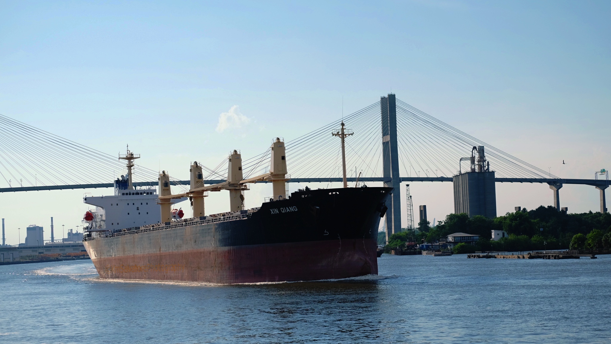
Florence Martus is her name, and each time we took the trolley we got a different story, but the one thing that held true was ,she waved to the sailors. this is a small , but gorgeous park along the river, we watched many cargo ships pass.. as you’ll find out another day .


while we were there the temps were always 100 or above.


one of these squares was made famous by…Forrest Gump. the story goes. the Savannah Gov. thought the movie was going to be a flop , and told the movie peeps they didnt want the bench Forrest sat on so they took it away. they also changed the” one way” to the Other Way for the movie.. just a little trivia for Ya’ll 🙂
and that will do it for my little tour today. if you stopped by , I thank you. please have a nice day and rest of the week.

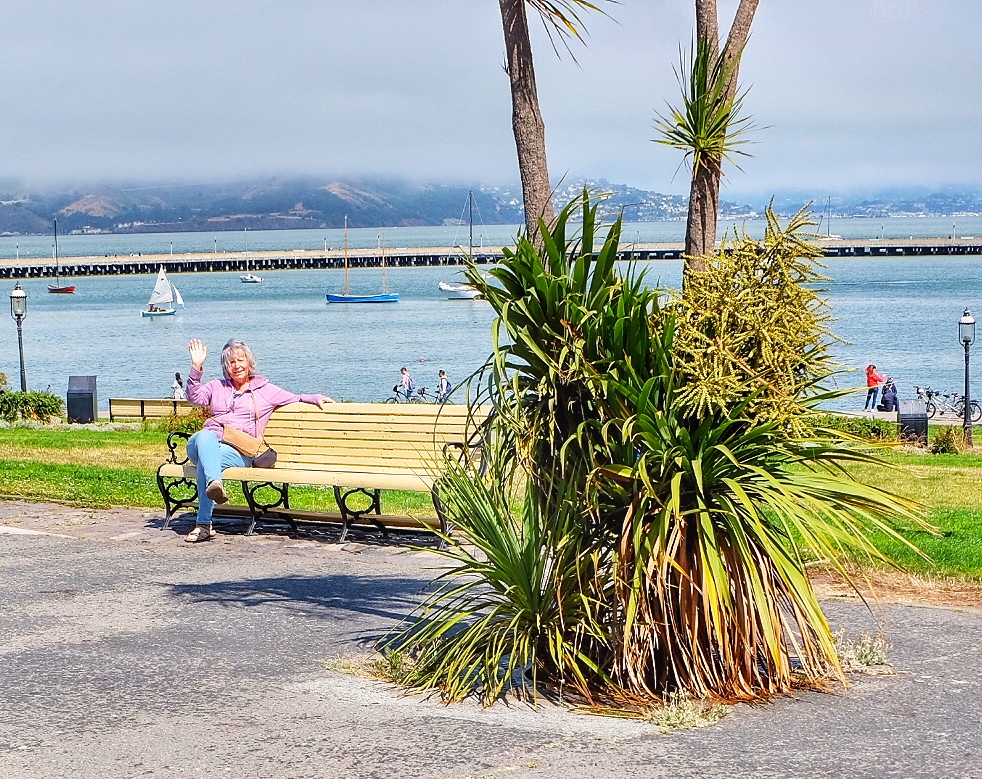
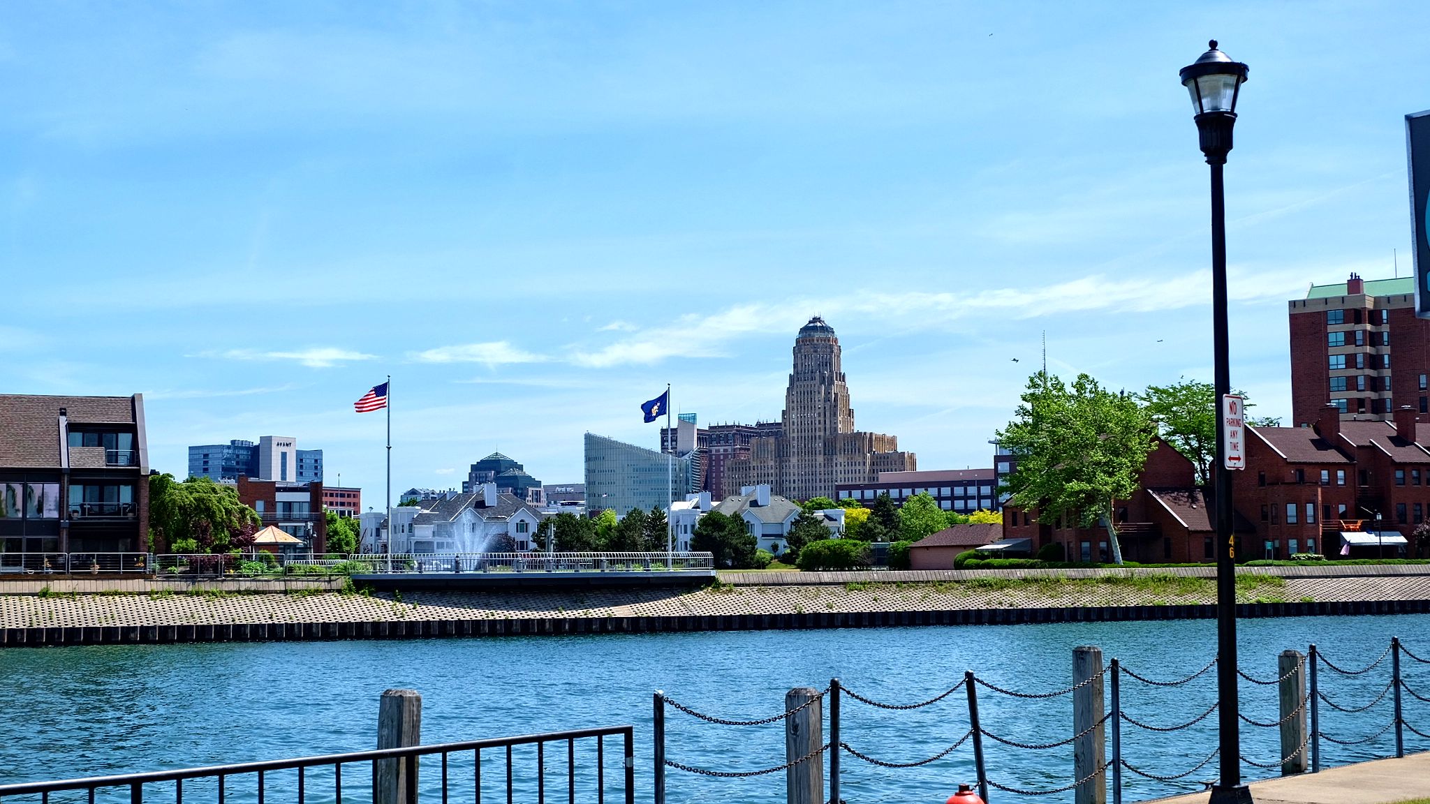
As a good lot of you know im from Buffalo ,New York. any chance i get, i love going home to visit the water front and the down town area. but this particular visit, i brought my neighbor,she lived in the south towns for a few years but never really went down town. it was a great adventure..for me, and i do believe she loved it as well. She like most people (who arent from Bflo.) have no clue how much it has changed ,and now recognized as a tourist destination. and it also has one of the longest bike runs and lake view parks, at least in North America.
i only wish i had original pics of what buffalo’s’ water front looked like when i was growing up. unless you worked on the docks, in one of the gain mills, or at the steel mill..or a vagrant..you really didnt go by the water.. contamination at its highest level.

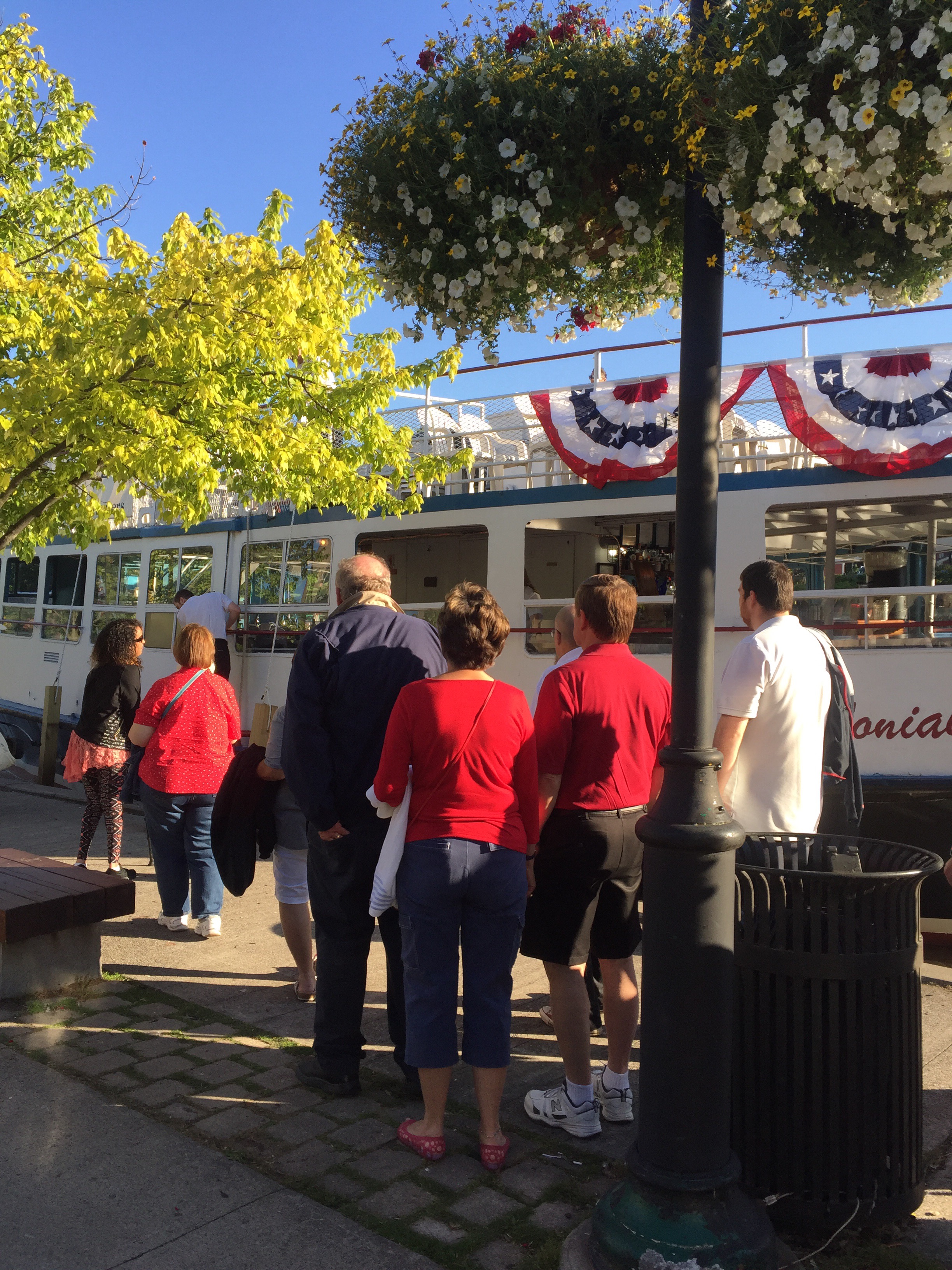
the boat in this pic. is a history tour. ive taken b4, and would have taken today,but we didnt have much time.
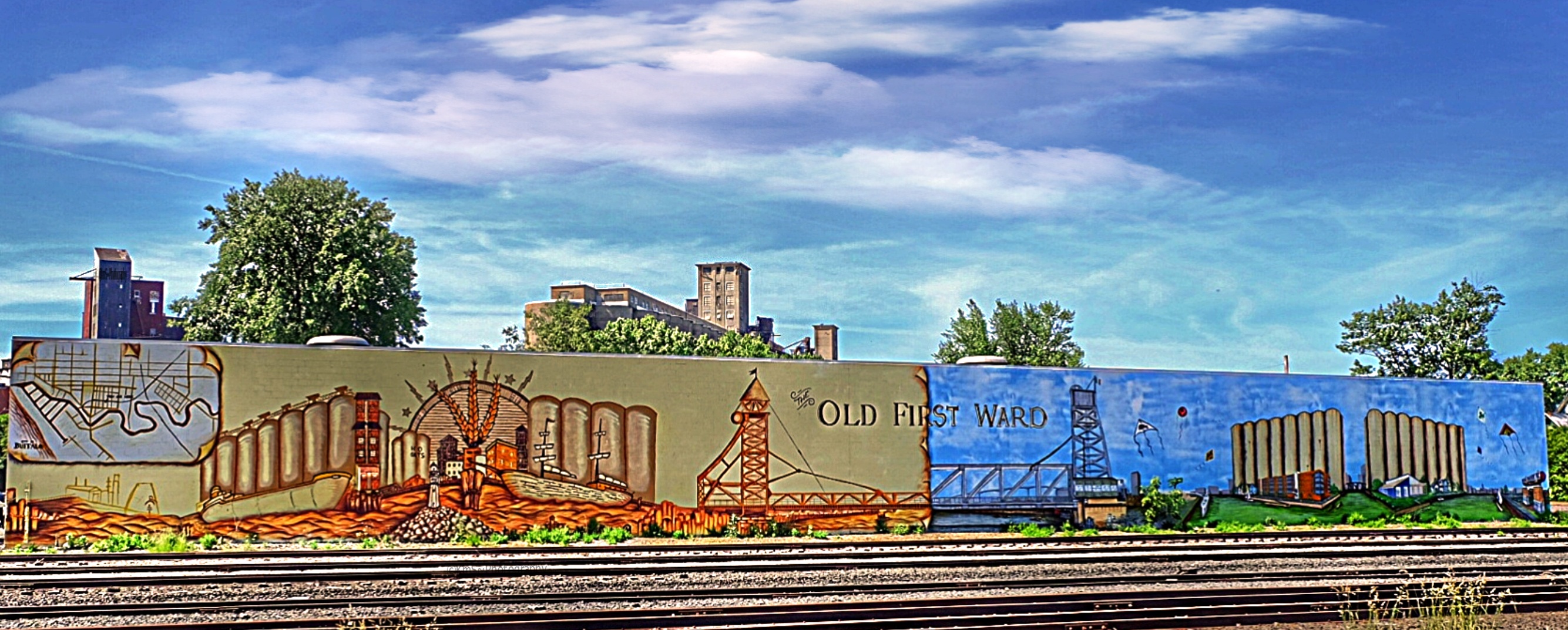

We started at the very beginning, and we r working our way downtown, to the “New Buffalo” water front.
On July 3, 2003, at the climax of a fiscal crisis, the Buffalo Fiscal Stability Authority was established[11] to oversee the finances of the city. As a “hard control board,” they have frozen the wages of city employees and must approve or reject all major expenditures. After a period of severe financial stress, Erie County, where Buffalo resides, was assigned a Fiscal Stability Authority on July 12, 2005. As a “soft control board,” however, they act only in an advisory capacity.[12] Both Authorities were established by New York State. In November 2005, Byron Brown was elected Mayor of Buffalo. He is the first African-American to hold this office.
Economic development in the city was marked at $3.5 billion in 2006 compared to the ten year previous average of $50 million[citation needed]. New proposals and renovations were numerous, especially in the downtown area. Buffalo ranked 83rd on the Forbes best cities for jobs list, an increase from the previous year, beating out cities like New York City, Cleveland, and Detroit.


there are lots of places to stop along the bike route for bathroom breaks and food or drink.


well thats it for this trip, i sure hope you liked it as much as my neighbor did :)and if you took the time to stay a while, thank you in advance. i love my home town. i take every opportunity to go and visit. and always find something new and wonderful. if you ever have the chance.. get off the the thru way and visit, you’ll be glad you did.
have a wonderful rest of the week.

while i was able to enter 2 very very old cemeteries. in My little(Erie) canal town. i eventually made into the city to go to our Famous Historic Mt.Hope Cemetery. which is still being used today, and sits directly across from the University of Rochester, NY and Strong Memorial Hospital…..the most famous people are…. right there, if your interested. Category:Burials at Mount Hope Cemetery, Rochester


I’m assuming every one knows..Bausch and Lomb…. well these are the 2 guys that started it all.


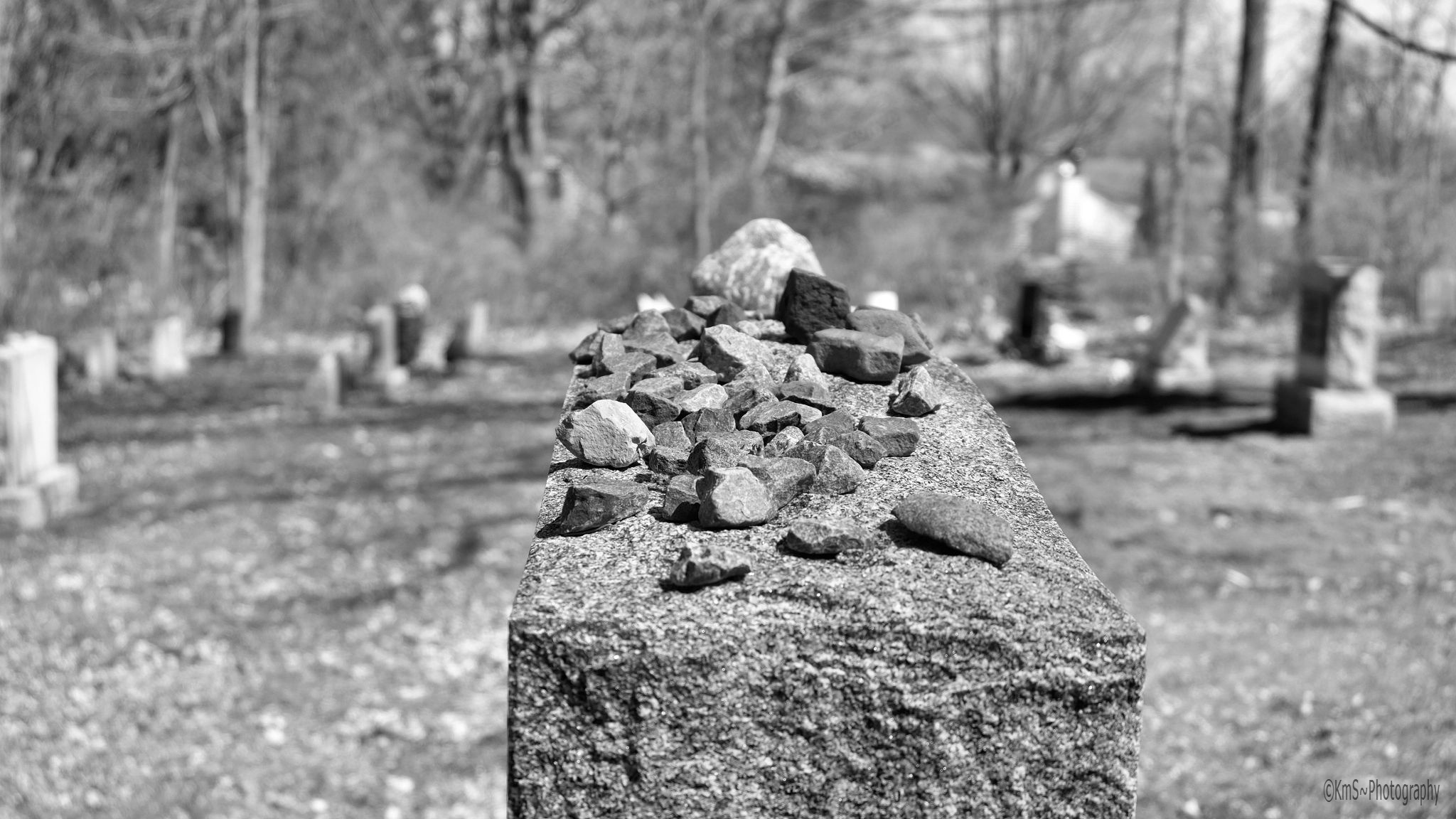


look further into this picture.. see the 3 shadows….. it looks like 3 men digging a grave… not to spook anyone..but there was no one digging any graves while i was there!!!!

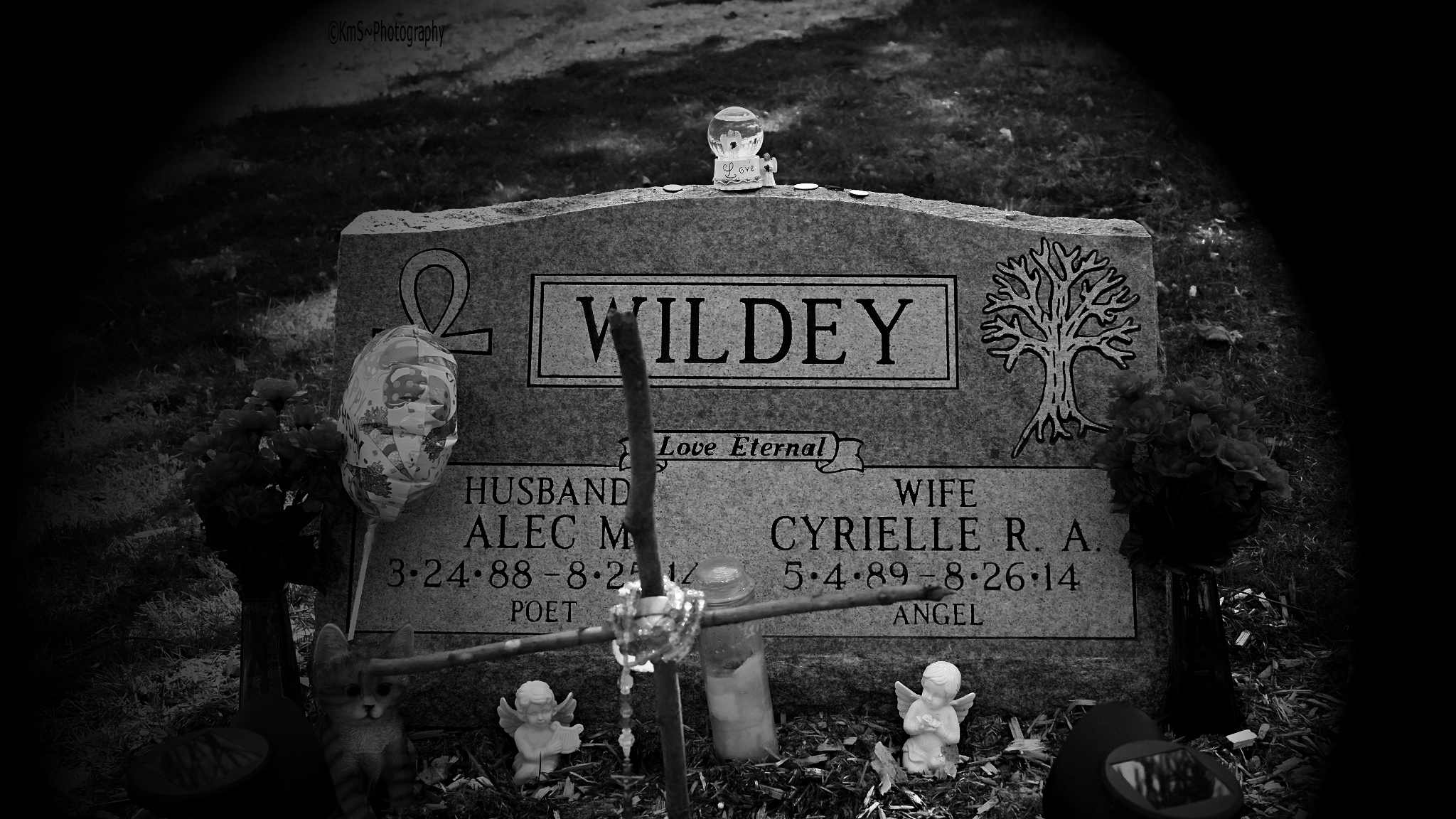


well that will do it for now. if you stopped by, thank you in advance. my friend Mary Smyth has gotten me on a roll, of doing cemeteries especially in B&W. next time ill try to have some dates. thanks again for stopping. have a great week end.


